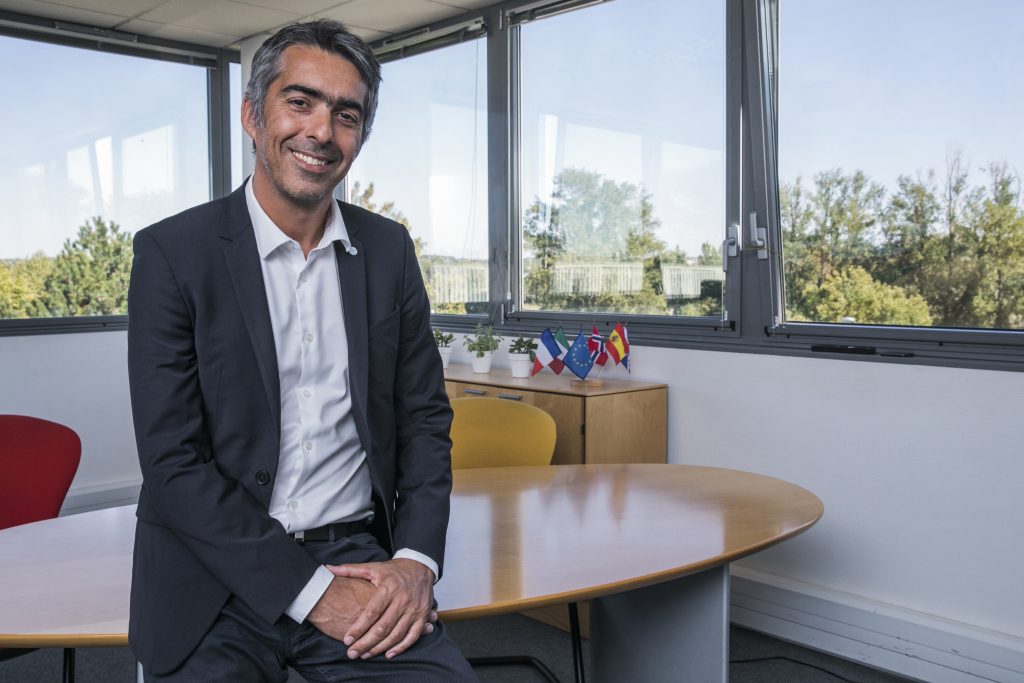
Interview with Pierre Bahurel, CEO of Mercator Ocean International
“We are building a digital ocean accessible to the greatest number of people.”
Interview by
Bertrand de Lesquen
How was Mercator Ocean International born, for what reason, and with what objectives?
Our research field, operational oceanography, was born from the combination of two major scientific and technological advances: observing the oceans using satellites and autonomous buoys and knowing how to integrate these observation data into three-dimensional numerical ocean forecasting models. France has been a leading actor in this domain for a long time. Mercator Ocean International was created some 20 years ago1 on the initiative of six major players – from the French Navy, Research and Space – to share the operational capabilities they needed for their missions or research work, and to make them available to all scientists. We took the name of Mercator”, a Flemish cartographer in the 16th century who mapped the world and left his name to one earth’s most used projections by oceanographers. We have a long history of working with oceanographers worldwide2 and we have become an international organization comprised of ten members in France, Spain, Italy, Norway and in the United Kingdom3. We are capable of describing and predicting the physical, dynamic, and biogeochemical characteristics of the oceans, from surface to the deep. We forecast tomorrow’s ocean for our ten shareholders as well as for major international and EU programmes such as Copernicus. We are building a digital ocean for them, accessible to the greatest number of people, from a computer or from a cell phone, in a digitized form available for visualisation and download.
What were the first achievements of Mercator Ocean International?
We published our first temperature forecast bulletins for the Atlantic Ocean in the early 2000s with a 1/3 degree resolution, which means a 30km accuracy. In 2002, the tanker Prestige sank and spilled 10,000 tons of oil on the Galician coast. At that time, our current predictions allowed Météo-France to estimate the drift of the pollution in the Ocean. This information proved to be essential to implement the necessary emergency measures and limit damage to marine and coastal ecosystems. Thanks to the permanent improvement of our systems, on October 14, 2005, Mercator Ocean International published its first ocean bulletin covering the entire globe at a 1⁄4-degree resolution, i.e. 25 km. This was definitely a major scientific breakthrough allowing scientific know-how to be observed in real time, on a three-dimensional map, including temperature, currents, salinity, and the swirls of an ocean now traced in its depths, allowing the prediction of its dynamics. Today, our
global models have resolutions of up to 1/12-degree, i.e., 5-7km, and even 1/36-degree, i.e., 3 km at the equator.
In which way was the European Union’s Copernicus Programme a strategic step in 2015?
Actually, from 2009 and for about 10 years, there has been a true European momentum that saw the deployment of the European GMES (Global Monitoring for Environment and Security) programme, later renamed Copernicus. Its ambition was to provide the European Union with an autonomous capacity in terms of space and in situ observation facilities, as well as six operational Earth monitoring services, including an oceanic monitoring service. We started to work on the prefiguration of this marine service starting in 2009 in the framework of the “MyOcean” research projects. We supervised them by federating a community of sixty European partners. In November 2014, we signed the delegation contract from the European Commission to design and operate until 2021 the UE’s operational marine service, the Copernicus Marine Service. Free and available in open access from a web portal, this service provides basic, reliable, science-backed, and updated information on the global ocean and European regional seas, their physical and biogeochemical state at the surface and in the deep: temperature, currents, salinity, sea surface height, sea ice, water colour, chlorophyll,
acidity… This delegation signed the recognition of the entire European operational oceanography industry, endorsed the success of our collaborative and open approach, and confirmed our determination to create a new service value.

Where does the service stand today? What achievements could illustrate it?
The UE renewed our mandate in 2021. Today, the Copernicus Marine Service is an operational service, open and free for its 40,000 subscribers and 440,000 users worldwide: scientists, public and commercial services, contractors, industrialists, national agencies, academics, NGOs, associations. It is used worldwide to address research programmes related to ocean protection, climate, or biodiversity, to contribute to the implementation or monitoring of environmental policies, for the development of blue economy services (maritime transport, safety at sea, coastal applications, marine renewable energies…). The Copernicus Marine Service includes about a hundred global or regional oceanographic resources available in the portal’s database and regularly updated. It also includes visualization tools useful to all professions, more than 2000 hours of trainings conducted in EU member states or online tutorials, an annual report on the state of the Ocean and its abstract published for 5 years now, read and used by more than 70,000 readers, scientists and policy makers worldwide. The Copernicus Marine Service provides access to the first indicators of ocean health calculated for each ocean basin, such as heat content, sea level and acidity. These are the first EU indicators used to meet the United Nations Sustainable Development Goals (SDGs), in the present case to meet SDG 14 that aims to preserve and allow a sustainable exploitation of the oceans, seas, and marine resources. Finally, the Copernicus Marine Service is the structuring of a solid community of European experts who have been working with us for more than ten years for a sustainable ocean.
Again, 2022 is a crucial year for Mercator Ocean International, why?
We have been waiting long for a “blue year” that would make a difference in the protection and preservation of the oceans. The One Ocean Summit held in Brest in February 2022 has truly opened it. During this summit, France, Spain, Italy, Norway, Portugal, and the United Kingdom signed the Brest Declaration, under the high patronage of the President of the Republic Emmanuel Macron, the Minister of Europe and Foreign Affairs Mr Jean-Yves Le Drian and the Minister of the Sea Ms Annick Girardin, with the support of the European Commission and the Intergovernmental Oceanographic Commission of UNESCO. This declaration commits these six states to transform Mercator Ocean International into a Europe-centred Intergovernmental Organisation and invites all European coastal states to join, with the aim of developing the world’s first digital ocean. This new organisation will considerably strengthen the development of our capacity for a sustainable ocean. Through its Green Pact and its Ocean Mission, the European Commission is actively working for an international governance of the oceans. Knowledge is one of the most important components of this process. The many threats to the oceans, but also the many opportunities they provide, have one thing in common: they all require a reliable and accessible information system built on a solid scientific and transdisciplinary basis. This is the purpose of the digital ocean that we have started to build with the Copernicus marine service. It is urgent to provide the Ocean with a dedicated institution, driven by European States, supported by the European Union, and recognised by the United Nations. This institution should be an authority on ocean forecasting and should establish global standards for digital oceanography to develop the next generation: the digital twin of the Ocean.
Ms. von der Leyen announced the creation of the European digital twin at the One Ocean Summit. Can you tell us what a digital twin of the Ocean is, what will it be used for, and how do you plan to work on it?
Over the past twenty years we have been able to create digital models representing the physical and biogeochemical state of the Ocean over time: past, present, and near future. A digital twin is always built on a similar layer of data. The Digital Twin Ocean (or DTO) will combine next generation ocean modelling with other scientific, economic, and statistical data. It will combine artificial intelligence, machine learning and high-performance computing techniques to provide a coherent, high-resolution, multi-dimensional, multi-variable and near-real time representation of the Ocean, while prioritising interactivity and knowledge sharing. This ‘digital copy’ of the Ocean will be accessible to all. In particular, it will make it possible to test scenarios and assess their impact on the environment, biodiversity or climate, or the effectiveness of mitigation and adaptation plans. The information obtained from the DTO will provide policy makers, civil society, and citizens with effective tools to better understand the Ocean and make informed decisions. This a long-term project will require strong European collaboration. This is the reason why we will continue to work alongside the European Commission to contribute to its exceptional commitment, known as “Mission Ocean”4, using a method that has been proven since the “MyOcean” projects: collaboration and co-creation. We have already begun to address Mrs von der Leyen’s call. I have recently solicited some sixty European experts to initiate an action programme and a first European DTO road map on the occasion of our very first Digital Ocean Forum on 20 and 21 April 2022 at the Ministry of Higher Education, Research, and Innovation, within the framework of the EU Council Presidency. We also want to put our action at the heart of the United Nations Decade of Ocean Sciences led by UNESCO’s Intergovernmental Oceanographic Commission, which places ocean forecasting and the digital ocean at the centre of many of its objectives.
–
1 – CNES (National Center for Space Studies), CNRS (National Center for Scientific Research), Ifremer (French Research Institute for Exploitation of the Sea), IRD (Institute for Research and Development), Météo-France and SHOM (French Naval Hydrographic and Oceanographic Service).
2 – As GODAE: The Global Ocean Data Assimilation Experiment, now “Ocean predict”
3 – CMCC (Euro-Mediterranean Center on Climate Change), CNR (National Research Council), Met Office, NERSC ( Nansen Environmental and Remote Sensing Center ), Puertos del Estado.
4 – One of the five missions of the European Union, the mission “Restore our Oceans and Seas by 2030”


